Inscription
His Men Quickly Scattered
Acting on good intelligence, Union Gen. George G. Meade ordered a trap set here for Maj. John Singleton Mosby and his band of partisan rangers on the morning of June 22, 1863. With a small detachment of the 17th Pennsylvania Cavalry exposed as bait, a company of the 14th U.S. Infantry hid in the rear of Ewell's Chapel and along a farm lane that entered the Old Carolina Road near the chapel. Coming from the Bull Run Mountains and passing through the Ewell Farm, Dunblane, Mosby and about 25 of his men saw the Union cavalry and attacked according to plan. The concealed U.S. infantry, however, delivered poorly directed fire as the Confederates approached the chapel. Mosby and his men quickly scattered and escaped with only three wounded. Mosby himself allegedly shot and killed Sgt. Martin Aumiller of the 17th Pennsylvania Cavalry, posted as a lookout in a tree and the only Union casualty. He was buried near the chapel.Sidebar Dunblane, the home of Dr. Jesse Ewell, served as a convalescent facility for his cousin, Confederate Gen. Richard S. Ewell, who was severely wounded in the left knee during an engagement at Groveton on August 28, 1862. After the general's leg was amputated at the Arris Buckner house, Auburn, five miles north of the battlfield, Ewell was brought to Dunblane to recuperate under the care of relatives. Although his condition improved rapidly, reports of Union cavalry in the area on September 17 aroused concern for Ewell's safety. He was evacuated south the next day.
Highlighted Quote ?"Prettiest chance... to dispose of Mr. Mosby" —Gen. George G. Meade
Details
| HM Number | HMCE |
|---|---|
| Series | This marker is part of the Virginia Civil War Trails series |
| Tags | |
| Placed By | Civil War Trails |
| Marker Condition |  10 out of 10 (1 reports) |
| Date Added | Wednesday, September 24th, 2014 at 12:17am PDT -07:00 |
Pictures
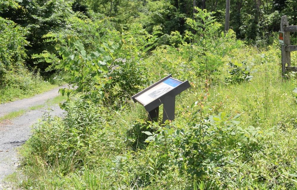

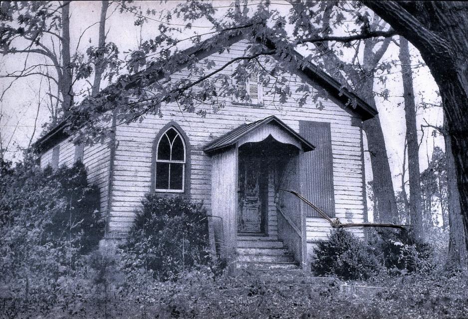
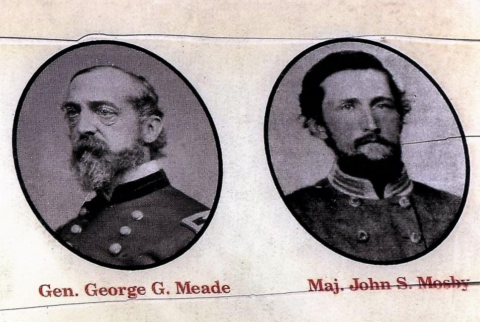
Photo Credits: [1] RICK WILDE
Locationbig map
| UTM (WGS84 Datum) | 18S E 272007 N 4310331 |
|---|---|
| Decimal Degrees | 38.91230000, -77.62951667 |
| Degrees and Decimal Minutes | N 38° 54.738', W 77° 37.771' |
| Degrees, Minutes and Seconds | 38° 54' 44.28" N, 77° 37' 46.26" W |
| Driving Directions | Google Maps |
| Area Code(s) | 703, 571 |
| Closest Postal Address | At or near 2400 Loudoun Dr, Haymarket VA 20169, US |
| Alternative Maps | Google Maps, MapQuest, Bing Maps, Yahoo Maps, MSR Maps, OpenCycleMap, MyTopo Maps, OpenStreetMap |
Is this marker missing? Are the coordinates wrong? Do you have additional information that you would like to share with us? If so, check in.
Nearby Markersshow on map
Show me all markers in: Haymarket, VA | Prince William County | 20169 | Virginia | United States of America
Maintenance Issues
- What historical period does the marker represent?
- What historical place does the marker represent?
- What type of marker is it?
- What class is the marker?
- What style is the marker?
- Does the marker have a number?
- What year was the marker erected?
- Can this marker be seen from the road?
- Is the marker in the median?
Comments 0 comments