Inscription
A series of armed conflicts between Native Americans and settlers of European descent
occurred along the western frontier of the British colonies during the 1750s and 1760s. In Oct. 1759,
during the Seven Years' War, Shawnee Indians from the Ohio Country attacked settlers here at
Kerr's Creek. Pontiac's War (1763-1766), during which a confederation of Indian tribes sought to
expel the British from the Great Lakes region, also reverberated here. On 17 July 1763, Shawnee.
possibly led by Cornstalk, conducted another surprise attack on Kerr's creek. A number of
inhabitants were killed, while others were captured and taken to Ohio.
Details
Pictures
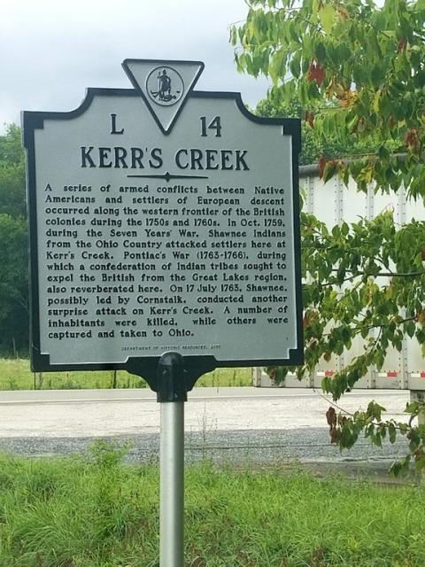
Photo Credits: [1] SG MCKEMY
Locationbig map
| UTM (WGS84 Datum) | 17S E 633301 N 4190130 |
|---|---|
| Decimal Degrees | 37.84888333, -79.48486667 |
| Degrees and Decimal Minutes | N 37° 50.933', W 79° 29.092' |
| Degrees, Minutes and Seconds | 37° 50' 55.9800" N, 79° 29' 5.5200" W |
| Driving Directions | Google Maps |
| Area Code(s) | 540 |
| Can be seen from road? | Yes |
| Is marker in the median? | No |
| Which side of the road? | Marker is on the right when traveling West |
| Closest Postal Address | At or near 2697 W Midland Trail, Lexington VA 24450, US |
| Alternative Maps | Google Maps, MapQuest, Bing Maps, Yahoo Maps, MSR Maps, OpenCycleMap, MyTopo Maps, OpenStreetMap |
Is this marker missing? Are the coordinates wrong? Do you have additional information that you would like to share with us? If so, check in.
Nearby Markersshow on map
Show me all markers in: Lexington, VA | Rockbridge County | 24450 | Virginia | United States of America
Maintenance Issues
- Who or what organization placed the marker?
- This marker could use another picture or two.
Comments 0 comments