Inscription
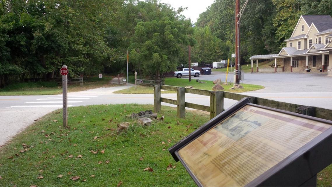
In 1835, the Baltimore and Susquehanna Railroad constructed a track through Baltimore County which included a siding and switch near a large tract of land owned by the Sparks family. Railroad officials gave the name Sparks to the switch and soon area residents began to refer to the location as "Spark's Switch". For some years a creamery, which can still be seen, was operated for farmers who brought their milk in daily to be separated. The cream was shiped to Baltimore while the skim milk was used by the farmers on their farms. With the passage of time, Spark's Switch came to be known simply as "Sparks." In 1888, the area had grown to a point where a "substantial foot bridge 6 feet in width" had to be built across the Gunpowder. A combination passenger and freight station was operated by the Northern Central Railroad in 1889 to serve the community appropriately names Sparks Station.
An interesting bit of history shows that the area along York Road today that we know as Sparks was once the town of Philopolis-Sparks was merely a cluster of homes and farms one mile to the east along the NCR tracks. Philopolis was the site of the Milton Academy, a well known private day and boarding school for boys. Also located there were a blacksmith and wheelwright shop, an undertaker, a milliner, and a general store. In time, the entire area
came to be known as Sparks, and the village of Philopolis disappeared from county maps.
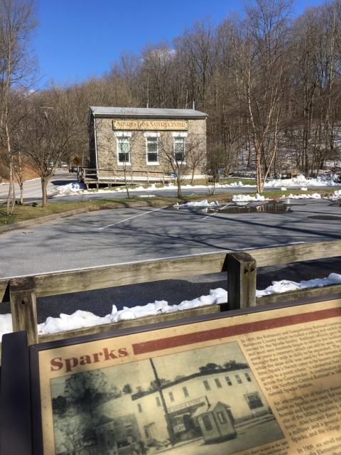
In 1909, six small rural schools were consolidated into what we know today as Sparks Elementary school (destroyed by fire in 1995). Initially the school was called the Agricultural High School - many of its students rode the NCR's Parkton local to get to school. In 1913 a general store and warehouse was build and the post office was moved from York Road to Sparks. Sparks State Bank was built in 1916 next to the store along the NCR tracks. Interestingly, both the bank and the post office have moved back to York Road which is now the main area of local business. The bank moved in 1954 due to a decrease in train activity as well as repeated flooding from the Gunpowder River - some of its safe deposit boxes were said to have contained water from past floods. The original Sparks Bank building is now operated as a Nature Center for young children by volunteers of Gunpowder Falls State Park in conjunction with the NCR Hike and Bike Trail which follows the old rail road path through northern Baltimore County.
[text with upper photo] Watchman's shack loated on the right side of the photo. The watchman is on the left side carrying a railroad stop sign. During this period of time there were no electric gates or warning lights. The watchman had to know the exact time that each train
was due, so he could stop all traffic before the train got there to prevent accidents.
[text with lower photo] In 1909 when Sparks Agricultural High School opened, transportation to school was difficult at best. Some students were fortunate to ride on the few county school buses available. Others arrived on foot, by stagecoach, or by horse and buggy. Still others came by train on the Northern Central Railway. They would be dropped off at the Sparks station and then walk a half mile up the hill to the school. Students who rode the train to school never complained as they were dismissed earlier than the other students in order to catch the return train home.
[text with lower middle photo] Monthly school ticket, c. May 1902
An interesting bit of history shows that the area along York Road today that we know as Sparks was once the town of Philopolis-Sparks was merely a cluster of homes and farms one mile to the east along the NCR tracks. Philopolis was the site of the Milton Academy, a well known private day and boarding school for boys. Also located there were a blacksmith and wheelwright shop, an undertaker, a milliner, and a general store. In time, the entire area
came to be known as Sparks, and the village of Philopolis disappeared from county maps.
In 1909, six small rural schools were consolidated into what we know today as Sparks Elementary school (destroyed by fire in 1995). Initially the school was called the Agricultural High School - many of its students rode the NCR's Parkton local to get to school. In 1913 a general store and warehouse was build and the post office was moved from York Road to Sparks. Sparks State Bank was built in 1916 next to the store along the NCR tracks. Interestingly, both the bank and the post office have moved back to York Road which is now the main area of local business. The bank moved in 1954 due to a decrease in train activity as well as repeated flooding from the Gunpowder River - some of its safe deposit boxes were said to have contained water from past floods. The original Sparks Bank building is now operated as a Nature Center for young children by volunteers of Gunpowder Falls State Park in conjunction with the NCR Hike and Bike Trail which follows the old rail road path through northern Baltimore County.
[text with upper photo] Watchman's shack loated on the right side of the photo. The watchman is on the left side carrying a railroad stop sign. During this period of time there were no electric gates or warning lights. The watchman had to know the exact time that each train
was due, so he could stop all traffic before the train got there to prevent accidents.
[text with lower photo] In 1909 when Sparks Agricultural High School opened, transportation to school was difficult at best. Some students were fortunate to ride on the few county school buses available. Others arrived on foot, by stagecoach, or by horse and buggy. Still others came by train on the Northern Central Railway. They would be dropped off at the Sparks station and then walk a half mile up the hill to the school. Students who rode the train to school never complained as they were dismissed earlier than the other students in order to catch the return train home.
[text with lower middle photo] Monthly school ticket, c. May 1902
Details
| HM Number | HM1SZ2 |
|---|---|
| Tags | |
| Historical Period | 19th Century |
| Historical Place | Business Center, Train |
| Marker Type | Historic District |
| Marker Class | Historical Marker |
| Marker Style | Free Standing |
| Placed By | Maryland Department of Natural Resources, Maryland State Highway Administration |
| Marker Condition | No reports yet |
| Date Added | Saturday, July 9th, 2016 at 5:01pm PDT -07:00 |
Pictures

Locationbig map
| UTM (WGS84 Datum) | 18S E 359212 N 4377939 |
|---|---|
| Decimal Degrees | 39.53958333, -76.63835000 |
| Degrees and Decimal Minutes | N 39° 32.375', W 76° 38.301' |
| Degrees, Minutes and Seconds | 39° 32' 22.5000" N, 76° 38' 18.0600" W |
| Driving Directions | Google Maps |
| Area Code(s) | 410, 443 |
| Can be seen from road? | Yes |
| Is marker in the median? | No |
| Which side of the road? | Marker is on the right when traveling East |
| Closest Postal Address | At or near Torrey C. Brown Rail Trail, Sparks Glencoe MD 21152, US |
| Alternative Maps | Google Maps, MapQuest, Bing Maps, Yahoo Maps, MSR Maps, OpenCycleMap, MyTopo Maps, OpenStreetMap |
Is this marker missing? Are the coordinates wrong? Do you have additional information that you would like to share with us? If so, check in.
Maintenance Issues
- Is this marker part of a series?
Comments 0 comments