Inscription
Burning the Gunpowder River Bridge
On July 6, 1864, Confederate cavalryman cross the Potomac River into Maryland as part of a 12,000 man force under Gen. Jubal A. Early, who planned to attack lightly defended Washington, DC., and draw off part of the Union army menacing Richmond and Petersburg. union Gen. Lew Wallace's force, however, delayed Early at the Monocacy River on July 9. Early Ordered Gen. Bradley T. Johnson's cavalry brigade to cut off Baltimore and Washington from the north, then to free 14,000 Confederate prisoners at Point Lookout, Maryland.After destroying the Northern Central Railroad bridge in Cockeysville, Johnson Detached Maj. Harry Gilmor with 135 troopers to destroy the Philadelphia, Wilmington and Baltimore Railroad drawbridge over Gunpowder River near Magnolia Station and Joppa. Gilmor arrived at the Station at 8:30 A.M. on July 11 and captured the stopped northbound train from Baltimore. The engineer disabled the controls and fled. Unable to operate the train, Gilmor burned it.
The next train arrived an hour later and fell into Gilmor's hands along with Union Gen. William B. Franklin. Gilmor detrained the passengers, set the train on fire and backed it onto the Gunpowder River bridge. Although the Union gunboat Juanita and detachments from Co. F, 159th Ohio National Guard, and the Delaware Volunteers were guarding the bridge, they could not stop Gilmor. As the flames from the burning train engulfed the bridge, the Federal soldiers leaped into the river. A few soldiers uncoupled two cars and rolled them to safety, but soon the draw span collapsed and several cars plunged into the water.
(captions)
(lower left) Train Burning at Magnolia Station, Leslie's Illustrated Newspaper (1864)
(upper right) "Destruction of the Bridge Over Gunpowder Creek," Benson J. Lossing, Pictorial History of the Civil War (1866)
(lower right) Harry Gilmor Courtesy Dave Marks
Details
| HM Number | HM1EFV |
|---|---|
| Additional Information | Trail is flat and paved. |
| Series | This marker is part of the Maryland Civil War Trails series |
| Tags | |
| Historical Period | Civil War, 19th Century |
| Historical Place | Train, Battlefield |
| Marker Type | Other |
| Marker Class | Historical Marker |
| Marker Style | Free Standing |
| Placed By | Maryland Civil War Trails |
| Marker Condition | No reports yet |
| Date Added | Friday, September 19th, 2014 at 9:01pm PDT -07:00 |
Pictures

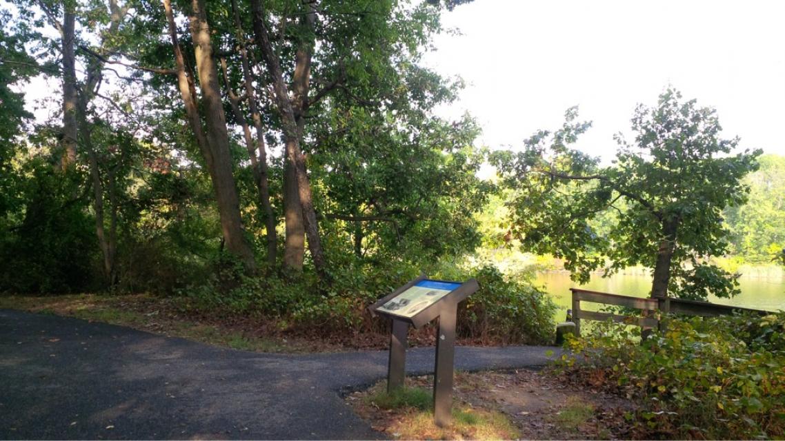
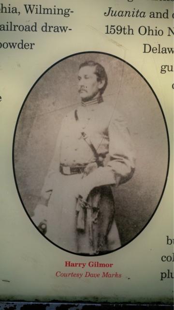
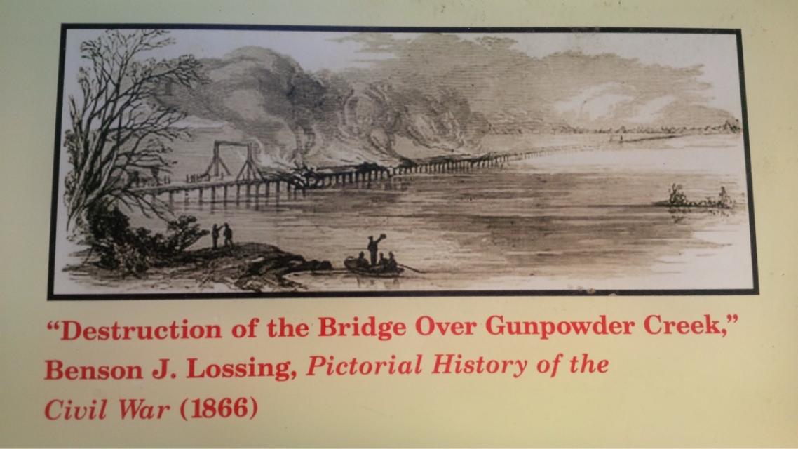

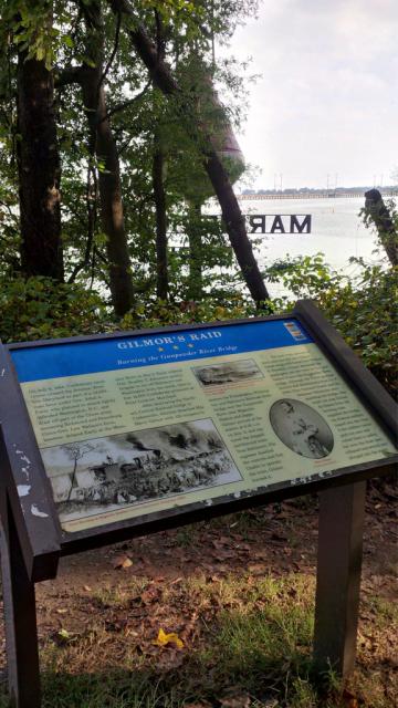
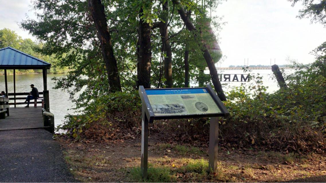

Photo Credits: [1] SEPTEMBERSPARROW1666 [2] SEPTEMBERSPARROW1666 [3] COURTESY OF DAVE MARKS [4] BENSON J. LOSSING, PICTORIAL HISTORY OF THE CIVIL WAR (1866) [6] SEPTEMBERSPARROW1666 [7] SEPTEMBERSPARROW1666 [8] SEPTEMBERSPARROW1666
Locationbig map
| Directions Information | Go to Mariner Point Park, 100 Kearney Drive, Joppa. Park in Lot C, use Trail to water (trail loops back to parking lot). |
|---|---|
| UTM (WGS84 Datum) | 18S E 383888 N 4361610 |
| Decimal Degrees | 39.39618333, -76.34843333 |
| Degrees and Decimal Minutes | N 39° 23.771', W 76° 20.906' |
| Degrees, Minutes and Seconds | 39° 23' 46.2600" N, 76° 20' 54.3600" W |
| Driving Directions | Google Maps |
| Area Code(s) | 410, 443 |
| Can be seen from road? | No |
| Is marker in the median? | No |
| Closest Postal Address | At or near Trails Way, MD 21085, US |
| Alternative Maps | Google Maps, MapQuest, Bing Maps, Yahoo Maps, MSR Maps, OpenCycleMap, MyTopo Maps, OpenStreetMap |
Is this marker missing? Are the coordinates wrong? Do you have additional information that you would like to share with us? If so, check in.
Nearby Markersshow on map
Related Markers
Maintenance Issues
- Which side of the road is the marker located?
Comments 0 comments