Inscription
Star-Spangled Banner National Historic Trail
Five days before the 1813 attack on Havre de Grace, British ships anchored at Spesutia Island, just south of here. Island residents were "greatly terrified" upon their arrival, but were assured they would not be harmed. The Royal Navy used the anchorage off the island as their "home base," returning after each of their attacks in the Upper Bay."On the 28th of April, a brig and two or three schooners came to anchor in the bay, a little below Havre de Grace... On the next morning another brig and schooners joined those which came up the day before."
Jared Sparks, North American Review and Miscellaneous Journal 14, 1817
Spesutia Island was owned in 1813 by William Smith, who was directly related to Major General Samuel Smith, commander of the defense of Baltimore in 1814. Today the land is part of Aberdeen Proving Ground.
From Havre de Grace, citizens could see the ships anchored at Spesutia Island prior to the War of 1812 attack. This view is from the hill behind where you stand, with a ghost image of today's modern promenade that lines the shore.
Details
| HM Number | HM17KX |
|---|---|
| Series | This marker is part of the Star Spangled Banner National Historic Trail series |
| Tags | |
| Historical Period | 17th Century |
| Historical Place | Military Installation |
| Marker Type | Other |
| Marker Class | Historical Marker |
| Marker Style | Free Standing |
| Placed By | National Park Service, Department of the Interior |
| Marker Condition | No reports yet |
| Date Added | Wednesday, October 22nd, 2014 at 5:12pm PDT -07:00 |
Pictures


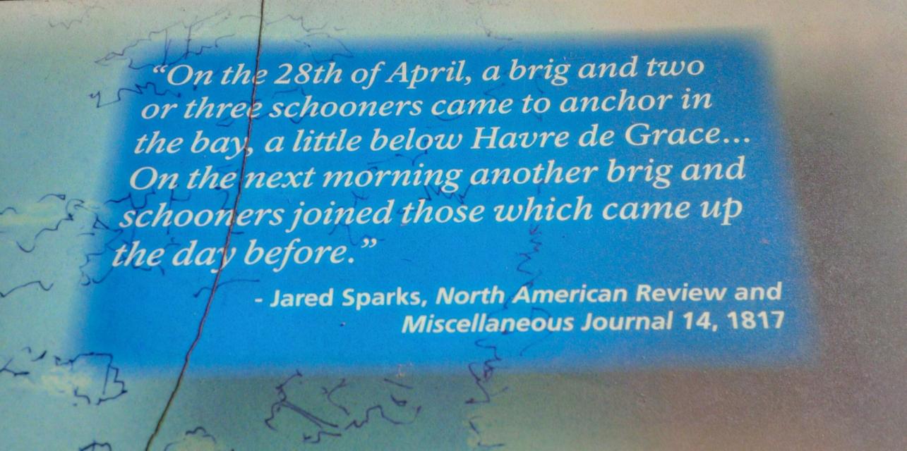


Photo Credits: [1] SEPTEMBERSPARROW1666 [2] SEPTEMBERSPARROW1666 [3] SEPTEMBERSPARROW1666 [4] SEPTEMBERSPARROW1666 [5] SEPTEMBERSPARROW1666 [6] SEPTEMBERSPARROW1666
Locationbig map
| UTM (WGS84 Datum) | 18S E 406449 N 4377066 |
|---|---|
| Decimal Degrees | 39.53816667, -76.08865000 |
| Degrees and Decimal Minutes | N 39° 32.29', W 76° 5.319' |
| Degrees, Minutes and Seconds | 39° 32' 17.4000" N, 76° 5' 19.1400" W |
| Driving Directions | Google Maps |
| Area Code(s) | 443, 410 |
| Can be seen from road? | No |
| Is marker in the median? | No |
| Closest Postal Address | At or near Havre de Grace Promenade, Havre de Grace MD 21078, US |
| Alternative Maps | Google Maps, MapQuest, Bing Maps, Yahoo Maps, MSR Maps, OpenCycleMap, MyTopo Maps, OpenStreetMap |
Is this marker missing? Are the coordinates wrong? Do you have additional information that you would like to share with us? If so, check in.
Nearby Markersshow on map
Show me all markers in: Havre de Grace, MD | Harford County | 21078 | Maryland | United States of America
Maintenance Issues
- Which side of the road is the marker located?
Comments 0 comments