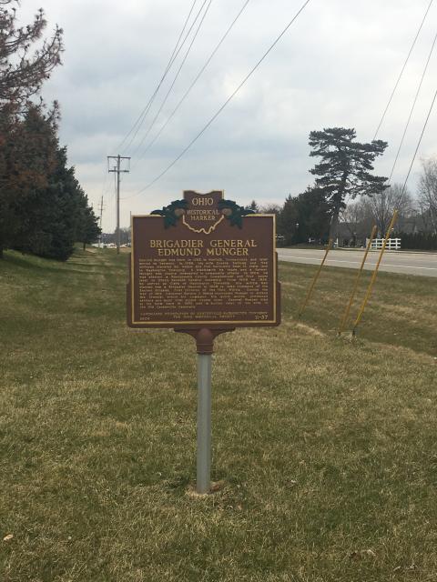
Inscription
Edmund Munger was born in 1763 in Norfolk, Connecticut, and later moved to Vermont. In 1799, his wife Eunice Kellogg and five children traveled by wagon and flat-bottomed boat to claim land in Washington Township. A blacksmith by trade and a farmer, Munger was deeply interested in community affairs. In 1804, he was elected a Montgomery County Commissioner and four years later to Ohio's Seventh General Assembly. From 1809 to 1826, he served as Clerk of Washington Township. His militia men elected him a Brigadier General in 1809 to take command of the Second Brigade, First Division of the Ohio Militia. During the War of 1812, Governor Return J. Meigs instructed Munger to defend the frontier within his command. His quick action protected settlers and kept vital supply routes open. General Munger died at his farm here in 1850 and is buried next to his wife in the Old Centerville Cemetery.
Details
| HM Number | HMHEY |
|---|---|
| Series | This marker is part of the Ohio: Ohio Historical Society series |
| Tags | |
| Marker Number | 11-57 |
| Year Placed | 2006 |
| Placed By | Landmarks Foundation of Centerville-Washington Township, Ohio Historical Society |
| Marker Condition | No reports yet |
| Date Added | Thursday, October 9th, 2014 at 11:46pm PDT -07:00 |


Locationbig map
| UTM (WGS84 Datum) | 16S E 740407 N 4387262 |
|---|---|
| Decimal Degrees | 39.60138333, -84.20001667 |
| Degrees and Decimal Minutes | N 39° 36.083', W 84° 12.001' |
| Degrees, Minutes and Seconds | 39° 36' 4.98" N, 84° 12' 0.06" W |
| Driving Directions | Google Maps |
| Area Code(s) | 937 |
| Closest Postal Address | At or near 9765-9833 Yankee St, Centerville OH 45458, US |
| Alternative Maps | Google Maps, MapQuest, Bing Maps, Yahoo Maps, MSR Maps, OpenCycleMap, MyTopo Maps, OpenStreetMap |
Is this marker missing? Are the coordinates wrong? Do you have additional information that you would like to share with us? If so, check in.
Nearby Markersshow on map
Show me all markers in: Centerville, OH | Montgomery County | 45458 | Ohio | United States of America
Centerville Veterans Memorial
Washington Presbyterian Church Cemetery
Mad River Road / Road From Cunningham's to Mad River
Sugar Creek Baptist Church Cemetery
Sugar Creek Friends Cemetery
Lynn O. Eaton Memorial Pin Oak
Edward Potts House / John Potts House
United Brethern [sic] Church of Springboro
Clark Williams House
Springboro Area Underground Railroad
Maintenance Issues
- What historical period does the marker represent?
- What historical place does the marker represent?
- What type of marker is it?
- What class is the marker?
- What style is the marker?
- Can this marker be seen from the road?
- Is the marker in the median?
Comments 0 comments