Inscription
St. Paul's Church (Episcopal) stands on the only property that has remained under the same ownership since the original survey of Baltimore Town in 1730. In that year, Lot. No. 19, the highest point in the new town, was granted to St. Paul's Parish; nine years later, the city's first public place of worship opened its doors. All Episcopal churches in Baltimore trace their lineage to this parish, which was established in 1692, the first place of worship being in Patapsco Neck.
Three churches have succeeded the original structure on this lot. The fourth and present basilica style church, built in 1856, was designed by Richard Upjohn, the noted architect whose most famous work is the Gothic Trinity Church in New York. A six-story bell tower was part of the original plans for St. Paul's, but was never completed.
Marble reliefs of Moses and Christ, sculped by Antonio Capellano, ornamented the third church of 1812, which burned in 1854. The plaques were salvaged from the fire and reinstalled on the present church. Among the oldest examples of architectural sculpture in the county, the plaques also escaped Baltimore's Great Fire of 1904.
Details
| HM Number | HM36P |
|---|---|
| Series | This marker is part of the Maryland: Baltimore City Historical Markers series |
| Tags | |
| Historical Period | 20th Century, 19th Century, 18th Century |
| Historical Place | Church/House of Worship |
| Marker Type | Historic Building |
| Marker Class | Historical Marker |
| Marker Style | Mounted |
| Placed By | The City of Baltimore, The Vestry of St. Paul's Parish in Baltimore County, Inc., sponsor and William Donald Schaefer, mayor |
| Marker Condition | No reports yet |
| Date Added | Tuesday, October 7th, 2014 at 12:15pm PDT -07:00 |
Pictures


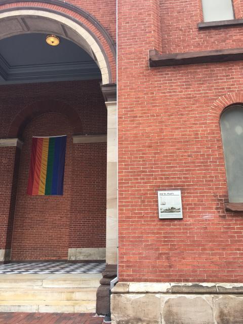

Photo Credits: [1] SEPTEMBERSPARROW1666 [2] SEPTEMBERSPARROW1666 [3] SEPTEMBERSPARROW1666 [4] SEPTEMBERSPARROW1666 [5] SEPTEMBERSPARROW1666
Locationbig map
| UTM (WGS84 Datum) | 18S E 360711 N 4350424 |
|---|---|
| Decimal Degrees | 39.29200000, -76.61518333 |
| Degrees and Decimal Minutes | N 39° 17.52', W 76° 36.911' |
| Degrees, Minutes and Seconds | 39° 17' 31.2000" N, 76° 36' 54.6600" W |
| Driving Directions | Google Maps |
| Area Code(s) | 410, 443, 301 |
| Can be seen from road? | Yes |
| Is marker in the median? | No |
| Which side of the road? | Marker is on the right when traveling North |
| Closest Postal Address | At or near 233 N Charles St, Baltimore MD 21201, US |
| Alternative Maps | Google Maps, MapQuest, Bing Maps, Yahoo Maps, MSR Maps, OpenCycleMap, MyTopo Maps, OpenStreetMap |
Is this marker missing? Are the coordinates wrong? Do you have additional information that you would like to share with us? If so, check in.
Nearby Markersshow on map
Related Markers
Comments 0 comments