Inscription
In honor of the pioneer aviators who have given their all that the science of aviation could be perfected, enabling it to take its place in the worlds commerce, this airport is dedicated.
December 17, 1928, on the 25th anniversary of the first flight of man.
December 17, 1928, on the 25th anniversary of the first flight of man.
Details
| HM Number | HM25FZ |
|---|---|
| Additional Information | This marked the opening of Los Angeles Metropolitan Airport. Now called Van Nuys Airport, it's the worlds' busiest general aviation airport. The marker was placed on the original control tower, which was at this location. The tower was featured in classic movies including Casablanca. Children who grew up near the airport (including me, -CB) enjoyed watching the aircraft activities and later became pilots. Today the viewing area has picnic tables, shade, informational signs, aircraft radio audio, and a children's play area. |
| Tags | |
| Historical Period | 20th Century |
| Historical Place | Other |
| Marker Type | Other |
| Marker Class | Historical Marker |
| Marker Style | Mounted |
| Year Placed | 1928 |
| Marker Condition |  10 out of 10 (1 reports) |
| Date Added | Sunday, February 11th, 2018 at 10:01pm PST -08:00 |
Pictures


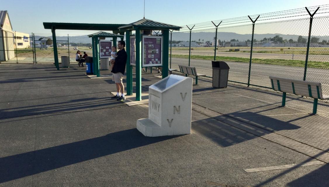
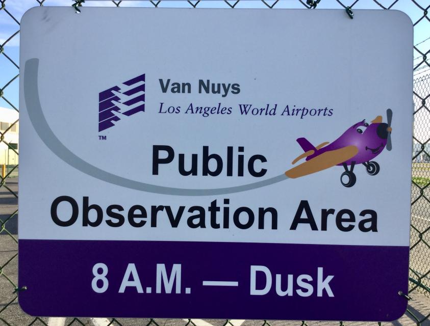
Photo Credits: [2] CRAIG BAKER [3] CRAIG BAKER [4] CRAIG BAKER
Locationbig map
| Directions Information | Marker is 0.3 miles west of Woodley Ave at the end of a narrow alley called Waterman Drive, in the Van Nuys Airport Observation Area, open to the public from 8:00 am to dusk. |
|---|---|
| UTM (WGS84 Datum) | 11S E 362890 N 3786952 |
| Decimal Degrees | 34.21460000, -118.48840000 |
| Degrees and Decimal Minutes | N 34° 12.876', W 118° 29.304' |
| Degrees, Minutes and Seconds | 34° 12' 52.5600" N, 118° 29' 18.2400" W |
| Driving Directions | Google Maps |
| Area Code(s) | 626, 805, 818, 323, 310 |
| Can be seen from road? | No |
| Is marker in the median? | No |
| Which side of the road? | Marker is on the right when traveling West |
| Closest Postal Address | At or near 16286 Lindbergh St, Los Angeles CA 91406, US |
| Alternative Maps | Google Maps, MapQuest, Bing Maps, Yahoo Maps, MSR Maps, OpenCycleMap, MyTopo Maps, OpenStreetMap |
Is this marker missing? Are the coordinates wrong? Do you have additional information that you would like to share with us? If so, check in.
Nearby Markersshow on map
Maintenance Issues
- Is this marker part of a series?
- Who or what organization placed the marker?
Comments 0 comments