Inscription
...collectors are hereby impowered to demand, secure, and receive all...the duties, customes and imposts...with full power to go on board any boat, ship or other vessel, or into any house...where he shall have just cause to suspect any fraud...collectors...shall...in Aprill and October...render a true and just account upon oath, and make payment...of money as they...shall receive and collect for the duties..." An Act for Ports &c., April 16, 1691, Virginia Legislative Assembly
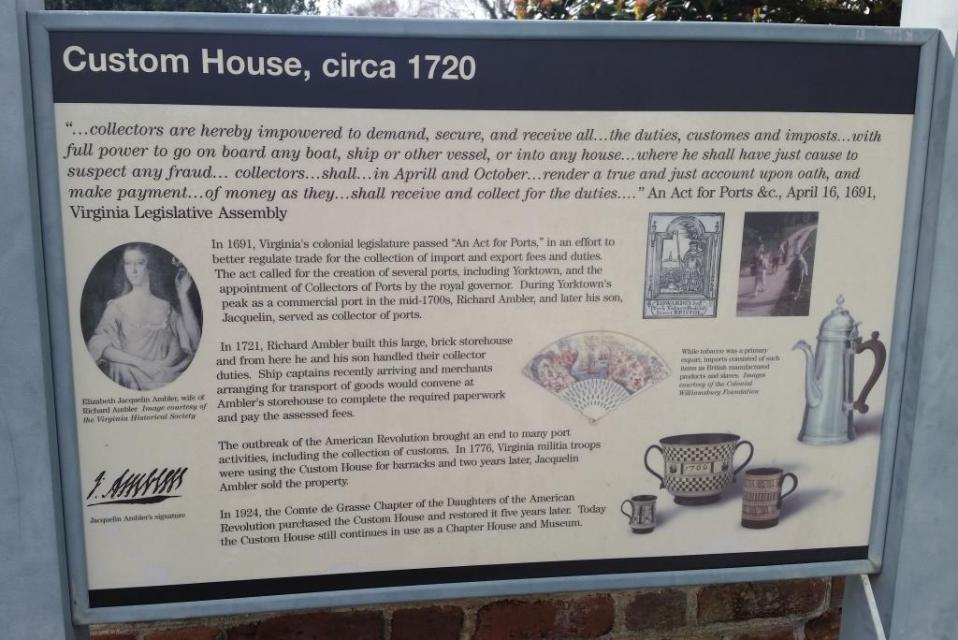
In 1691, Virginia's colonial legislature passed "An Act for Ports," in an effort to better regulate trade for the collection of import and export fees and duties. The act called for the creation of several ports, including Yorktown, and the appointment of Collectors of Ports by the royal governor. During Yorktown's peak as a commercial port in the mid-1700s, Richard Ambler, and later his son, Jacquelin, served as a collector of ports.
In 1721, Richard Ambler built this large, brick storehouse and from here he and his son handled their collector duties. Ship captains recently arriving and merchants arranging for transport of goods would convene at Ambler's storehouse to complete the required paperwork and pay associated fees.
The outbreak of the American Revolution brought an end to many port activities, including the collection of customs. In 1776, Virginia militia troops were using the Custom House for barracks and two years later, Jacquelin Ambler sold the property.
In 1924, the Compte de Grasse Chapter of the Daughters of the American Revolution purchased the Custom House and restored it five years later. Today the Custom House still continues in use as a Chapter House and Museum.
Details
| HM Number | HM1J9U |
|---|---|
| Tags | |
| Marker Condition |  10 out of 10 (1 reports) |
| Date Added | Monday, February 23rd, 2015 at 1:04pm PST -08:00 |
Pictures

Locationbig map
| UTM (WGS84 Datum) | 18S E 366250 N 4121999 |
|---|---|
| Decimal Degrees | 37.23493333, -76.50781667 |
| Degrees and Decimal Minutes | N 37° 14.096', W 76° 30.469' |
| Degrees, Minutes and Seconds | 37° 14' 5.76" N, 76° 30' 28.14" W |
| Driving Directions | Google Maps |
| Area Code(s) | 757 |
| Which side of the road? | Marker is on the right when traveling East |
| Closest Postal Address | At or near 400-410 Main St, Yorktown VA 23690, US |
| Alternative Maps | Google Maps, MapQuest, Bing Maps, Yahoo Maps, MSR Maps, OpenCycleMap, MyTopo Maps, OpenStreetMap |
Is this marker missing? Are the coordinates wrong? Do you have additional information that you would like to share with us? If so, check in.
Nearby Markersshow on map
Maintenance Issues
- Is this marker part of a series?
- What historical period does the marker represent?
- What historical place does the marker represent?
- What type of marker is it?
- What class is the marker?
- What style is the marker?
- Does the marker have a number?
- What year was the marker erected?
- Who or what organization placed the marker?
- This marker could use another picture or two.
- Can this marker be seen from the road?
- Is the marker in the median?
Comments 0 comments